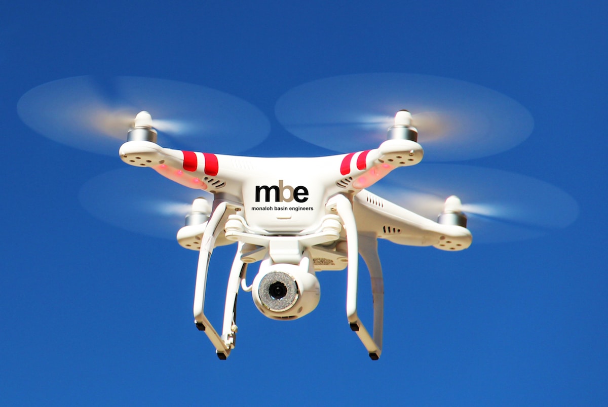
Monaloh believes that UAS services provide a unique, fast and safe way of collecting data. While we apply our same core values that we use when performing traditional methods of surveying, Monaloh has a separate team dedicated to teaching and exceeding the aerial needs of our clients. Our UAV team members are both experienced field Surveyors and FAA licensed and have experience performing aerial services for various projects and industries, including but not limited to commercial development, transportation, oil and gas, and telecommunications. Monaloh currently owns and operates Phantom 4 drones to provide the following services:
- Site Assessment
- Topographic Mapping
- Aerial Videos, time lapse, and photography
- Orthomosaic and 3D image modeling
- Construction progress monitoring
- Vertical structure inspections
- Route Selection
- Corridor assessments
- Infrastructure inspection
- Emergency response assessment
- Photography and videos for marketing materials
- Upon completion and per the request of the client, Monaloh can provide a deliverable in various formats i.e., CAD (dgn, dwg), point cloud, GIS, and/or orthopicture.