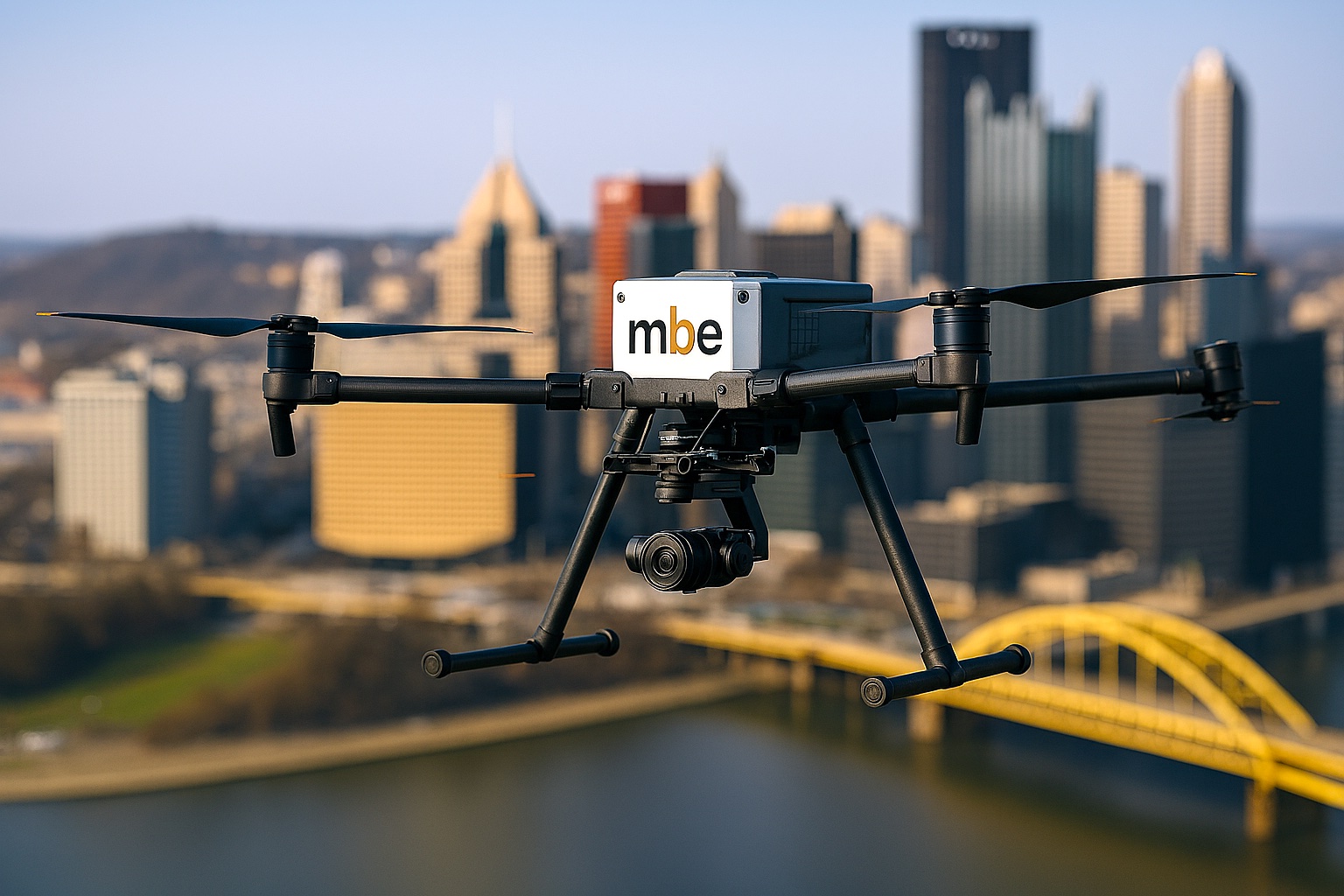
Monaloh believes that UAS services provide a unique, fast and safe way of collecting data. While we apply our same core values that we use when performing traditional methods of surveying, Monaloh has a separate team dedicated to teaching and exceeding the aerial needs of our clients. Our UAV team members are both experienced field Surveyors and FAA licensed and have experience performing aerial services for various projects and industries, including but not limited to commercial development, transportation, oil and gas, and telecommunications.
Utilizing our IF800 Tomcat Drone with Rock Robotic R2A LiDAR Unit, MBE has full services LiDAR capabilities. LiDAR data combined with GPS technology, electronically generates a digital representation of collected data, which we, as professional surveyors, can utilize to produce a wide range of deliverables for our clients.
Our drones equipped with LiDAR and other instruments measure the reflection and distance of light beams from millions of points on the Earth’s surface. This data is electronically compiled with GPS and the drone’s Inertial Measurement Unit (IMU) to create a point cloud. Our team of Professional surveyors can then use this point cloud to generate various final products such as contour files and 3D maps.
Our LiDAR-equipped drones are especially beneficial for surveying large or densely populated areas of land. LiDAR can penetrate through gaps to capture surface locations and rapidly produce a point cloud of the ground surface, which can be more efficient than traditional methods. In open areas, a drone equipped with advanced LiDAR can cover between 500 to 750 acres in a single day.
Other benefits to using LiDAR can include:
- Improved safety
- Time/speed of completion of project
- Reduced cost
MBE’s Trimble X7 and X9 are advanced 3D laser scanning systems designed to enhance the efficiency, accuracy, and versatility of modern surveying workflows. These scanners enable survey firms to perform high-precision as-built documentation, topographic surveys, construction verification, and infrastructure assessments with speed and reliability.
The scanners feature automated calibration and high-speed data capture and are ideal for everyday site work and indoor/outdoor environments. Specifically, the features of the Trimble X9 build on these capabilities with extended range, higher point density, and faster scanning—making it well-suited for large or complex infrastructure projects like bridges, tunnels, and industrial facilities.
Together, the X7 and X9 empower survey firms to reduce field time, improve data quality, and deliver accurate, detailed 3D models to support informed decision-making across a wide range of projects.
Mobile LiDAR enables rapid, high-accuracy 3D mapping of roadways, corridors, and large infrastructure areas—all from a vehicle-mounted system. Mobile LiDAR offers a highly efficient solution for capturing dense geospatial data without disrupting traffic or requiring extensive field crews.
Utilizing vehicle-mounted scanners, high-resolution cameras, GNSS, and inertial navigation systems, Mobile LiDAR collects millions of data points per second while traveling at road speeds. This makes it ideal for:
- Highway and corridor mapping
- Topographic and asset inventory surveys
- Transportation planning and design
- Bridge, utility, and right-of-way analysis
With the ability to cover miles of roadway in a single day while maintaining survey-grade accuracy, Mobile LiDAR is a powerful tool for delivering fast, comprehensive, and reliable data for infrastructure projects of any scale.