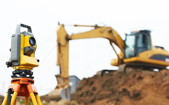
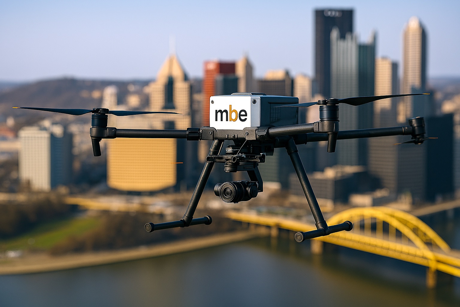
MBE is equipped with the latest state-of-the-art technology to ensure that our clients receive the highest quality final survey products. From advanced AutoCAD Civil-3D software for precise mapping to cutting-edge drones and LiDAR systems for aerial surveys, we leverage innovative tools to capture detailed data efficiently and accurately. Our commitment to investing in top-tier equipment allows us to deliver comprehensive and reliable survey results that meet the diverse needs of our clients across various industries. At MBE, we combine technological excellence with expertise to ensure superior outcomes for every project we undertake.
- Extended Cab 4 Wheel Drive Truck
- Trimble S5/S6 Total Station (Annual calibration)
- Trimble R12/R12i GPS Units
- Trimble TSC3 and TSC5 Data Collectors
- Trimble Access Software (Annual subscriptions)
- Trimble DiNi Digital Level (Annual calibration)
- VRS Subscriptions (Annual subscriptions)
- Trimble X7 3D Terrestrial Laser Scanner
- Trimble X9 3D Terrestrial Laser Scanner
- Hydrolite DF Boat Single Beam Sonar Boat
- Hydrone RCV Remote Control Survey Boat
- DJI M300 Drone with Rock Robotic R2A LiDar Unit with Parachute System
- IF800 Tomcat
- Hero8 GoPro
 */
*/